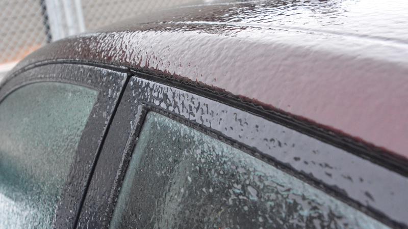
Residents of the Battlefords woke up to icy windows Thursday, following last night’s blizzard conditions felt in the community and across Saskatchewan. (Martin Martinson/battlefordsNOW Staff)
Calm after the storm

Battlefords experience blistering winds, blowing snow in winter storm

Jan 14, 2021 | 1:48 PM

It was a night of howling wind, rain and snow across much of Saskatchewan Wednesday evening, and residents of the Battlefords received a front row seat.

The storm system, which began in Alberta moved across southern Saskatchewan and continued throughout the province, bringing extreme weather conditions to the region through the evening and into the overnight.

Kyle Fougere is a meteorologist with Environment and Climate Change Canada. He said while storms coming in from neighbouring provinces are fairly common, Wednesday night was more of an extreme example.

“Every year we have some pretty good Alberta clippers that pass through, so it wasn’t particularly strange to have the system itself, but it was certainly a potent one,” he said. “We had a wide variety of weather conditions across Saskatchewan, and there were a number of records that were set yesterday.”

In the Battlefords, wind gusts were clocked fast at 93 km/h, with blowing snow and blizzard conditions, not far off the community’s record-high.

More than 15 communities recorded 100 km winds or greater, while Bratts Lake, located just 30 minutes south of Regina, set a new record for the peak January wind gust for all of Saskatchewan at 143 km/h.

Fougere said despite the recent blizzard, the Battlefords will likely see a nice return to above-average temperatures for the next few days at least, based on the time of year.

“Normally when we see a system that strong go through we tend to see a lot of cold air with it, and we have cold air lingering for a while after, but that isn’t really happening this time,” he said. “We actually remain above normal in the Battlefords area, and that’s basically the forecast for the next week.”

Residents can expect daytime highs between – 1 C and – 5 C, while a normal high for mid-January in the community would generally be around – 12 C, with a low of – 23 C.

Next week there is another system expected to carry though the area, but it is not expected to be as strong as Wednesday’s.

“We’re probably going to return to a more normal winter temperature with that colder air expected to hang around after that,” Fougere said. “Probably towards the end of next week and into the end of January.”

Martin.Martinson@jpbg.ca

On Twitter: MartyMartyPxP1

View Comments