(Angie Rolheiser/northeastNOW staff)
Warm Weekend Welcome

Cool and wet Thursday ahead of weekend warm-up in the northeast

Oct 14, 2021 | 2:36 PM

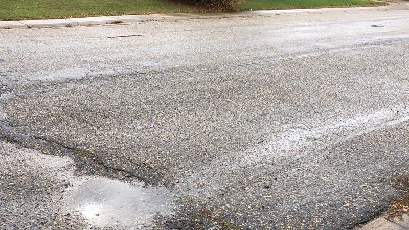
The cooler temperatures and wet conditions being felt today aren’t expected to stick for too long.

A special weather statement was issued early in the morning as a Colorado low is tracking through the province bringing much needed precipitation.

According to Environment Canada, five to 10 mm of rain is expected throughout the day Thursday before clearing overnight.

Environment Canada’s Brad Vrolijk said double digit highs are expected for Friday.

“There’s a nice push of warm air moving in from the west coast over the next couple of days and we will see highs well back into the mid teens,” Vrolijk said.

By Sunday, the Melfort area can expect a high of 14 in the sunshine.

Saskatoon and area saw some snow fall early in the morning Thursday but mild ground temperatures melted the snow and the weather system was moving into the northeast, Vrolijk said.

The majority of precipitation so far has fallen in the Yorkton area, but totals aren’t available just yet.

On Thursday morning, the Saskatchewan Public Safety Agency also lifted the fire ban in the east-central portion of the province. Improved weather conditions were given credit for the ban being lifted.

The smoke and smoke smell in the region has improved significantly as well.

angie.rolheiser@pattisonmedia.com

On Twitter: @Angie_Rolheiser

View Comments