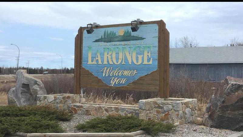
Forecast for La Ronge calling for warmer than normal November and December
October in La Ronge was the sixth warmest out of 56 years of record keeping.
“I would say this was certainly a warmer than normal October and I would say what contributed to that was a lack of big powerful systems swinging through the Prairies,” Climate Change and Environment Canada Meteorologist Sara Hoffman. “We did have some storms, but nothing like I know we can get this time of year and that was in part due to a warmer than normal air mass that was over the area.”
On average, October had a 2.6 C departure from normal temperatures, which is -1 C for this time of year. In the Arctic, Hoffman explained the difference was even more extreme with Nunavut breaking 130 daytime temperature records at 27 stations.
“We depend on these cold temperatures over the Arctic to sort of drive our fall weather and set up winter,” she said. “If they are missing in the North, then we can’t really get those powerful storms that bring about the snow and the cold weather.”


