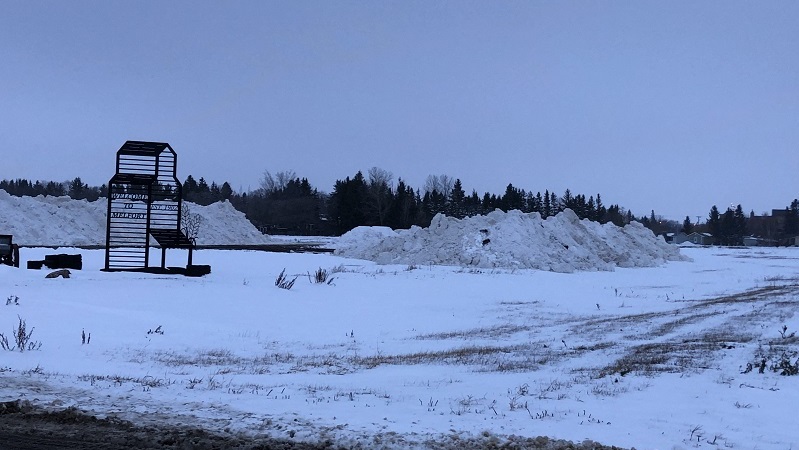
(Angie Rolheiser/northeastNOW staff)
Snowstorm...Again
Snow removal efforts in Melfort will have to start over, winter storm warning issued
Nov 15, 2021 | 6:20 PM
-
Share on Facebook
-
Share on Bluesky
-
Share on X
- Copy Link
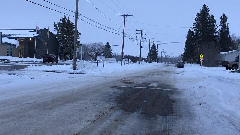
With more snowfall in the forecast, City of Melfort crews could be starting over with snow removal efforts.
The city maintains over 80 kilometres of streets and roadways.
Director of development, planning, and community relations Brent Lutz told northeastNOW the first priority is collector streets, downtown, and emergency routes, including the airport.
“People need to be able to get around, get services and the products that they might need.”