Freezing cold temperatures will stick around for about 24 more hours before the warmup begins. (Ian Gustafson/paNOW Staff)
Wild Weather Swings

Winter Roulette: colder temperatures to shoot in and out

Jan 24, 2022 | 12:00 PM

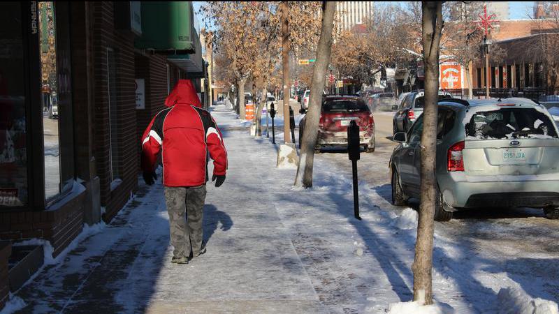
After a weekend of seasonal temperatures, which came on the heels of a week full of warmer weather, this morning’s blast of extreme cold may have come as a bit of a shock for Prince Albert residents.

The good news is, unlike earlier doses of cold, this weather isn’t here for long.

Though today’s extreme cold warning likely has 24 hours or more left in it, the forecast calls for a sharp warm-up afterward. For today, however, be prepared to bundle up, plug in your car, and take other precautions against the cold.

“We may see some recovering temperature during the day because we will see some sunshine coming out,” said Environment Canada regional meteorologist Terri Lang. “But, in the overnight period it will get cold again so the extreme cold warning will probably stay in place, just because we expect those wind chills to get toward that -40 (Celsius) mark.”

Tomorrow morning will still see wind chills in the -40 C range, but the evening will actually end up being the warmest part of the day if the forecast holds true. The weather is only going to warm up into Wednesday as well.

“We have a weather system moving along the Northwest Territories border that’s going to suck in some very mild air coming from the south to southwest,” Lang said. “So we’ll see temperatures recover probably towards the freezing mark on Wednesday.”

While it’s not unheard of by any means for the weather to slingshot back and forth like this, there’s a reason it’s doing so now. The jet stream, the delineator between warm air and cold, is perched nearly on top of Saskatchewan at the moment.

“It’s sort of moving back and forth to the east and west,” said Lang. “Depending on what side you’re on, you’ll get colder or warmer. That’s what’s happening because that jet stream is sitting right there and kind of moving back and forth.”

From Wednesday on, the weather does cool off a little bit, with highs around -10 C or very slightly above average. This is supposed to be the time of year when the temperature does begin to track up, but that’s not always the case.

“We are in what’s called the dead of winter,” said Lang, “which means if you track the average temperatures throughout the year, the time they bottom out is right about now. We’re supposed to be on the climatological upswing. Theoretically, we should be getting warmer on average, however, we know last year’s February was incredibly cold so pretty much anything can happen.”

Lang added the sudden bursts of cold air do make it tougher to plan, so people will need to keep a closer eye on the forecast. She also said there were some early signs that a warm-up might be on the way, but they couldn’t definitively forecast that yet.

—-

rob.mahon@pattisonmedia.com

On Twitter: @RobMahonPxP

View Comments