What little snow and ice remain aren't likely to survive a scorching couple of days mid-week. (File Photo/paNOW Staff)
Suddenly Shorts Weather

Hit-and-run burst of summer to come to Prince Albert

May 2, 2022 | 12:00 PM

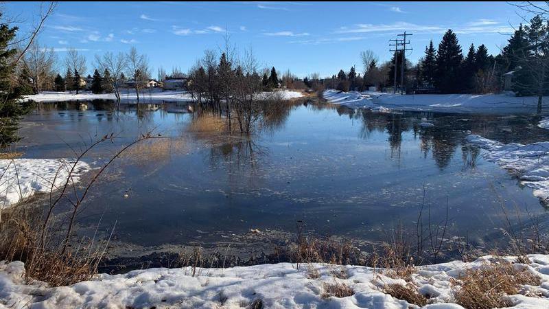
By now, Saskatchewan residents have been conditioned by a harsh winter and cold, slushy spring to expect tough news on the weather front. This week, however, we’re getting a burst of weather that’s going to bring the temperature way up.

Starting on Thursday, with some carryover into Friday, it’s going to be well above 20 Celsius in the Prince Albert area and throughout the region. Even the week leading up to it is going to be warmer than what we’ve become used to.

“Maybe a mix of sun and cloud,” said Alysa Pederson, meteorologist with Environment Canada, “not too much for precipitation expected out of it, which is a little bit of a change from what parts of Saskatchewan have had over the last couple of weeks when it’s been generally cool.”

At the moment, Prince Albert sits almost in between two systems bringing snow, with one to the north of us in the La Ronge area and another dropping some sleet on Winnipeg. But once that clears up, temperatures will rise in a hurry.

“We’re going to be getting what we call a ridge of high pressure,” Pederson said. “Basically, like you might see in the forecast, it’s going to feel very summer-like as we get into mid-week here because of that ridge. It’s going to bring in a lot of warm air.”

The ridge is expected to bring warm air not just to the Prince Albert area but through the southern stretches of Alberta, Saskatchewan, and Manitoba. The peak of the warm air will hit on Thursday, on a day that’s going to feel more like late June than early May.

“In the springtime, when you get temperatures that hot, it doesn’t usually last for too long,” Pederson said. “It looks like Thursday is going to be a pretty good day… I would expect it to be around 25 C or something like that.”

As if to make it feel even more like summer, the evening isn’t going to see a big drop in temperature that it otherwise might. In fact, with a low of 16 C in the forecast, the coldest part of Thursday night will be warmer than the hottest part of several days leading up to it.

“Usually, as we’re in April into May, we don’t really have the moisture that we do when we get into June or July when we start getting crops,” said Pederson. “That’s usually what helps; the moisture from the crops helps keep the temperature up overnight. Usually we don’t see it this time of year.”

That moisture is coming, however, as rain is in the forecast for Saturday and Sunday.

—-

rob.mahon@pattisonmedia.com

On Twitter: @RobMahonPxP

View Comments