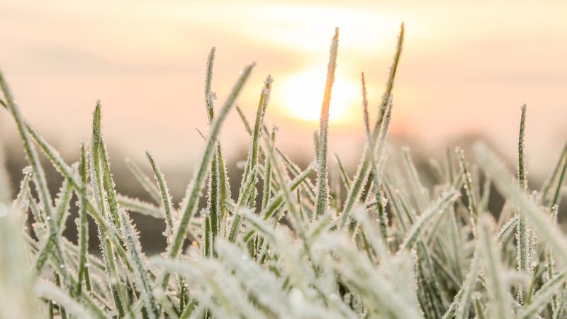
Frost is possible overnight, according to Environment and Climate Change Canada. (ID 49590118 © John Millington | Dreamstime.com)
Frost risk tonight

Chance of frost overnight in northeast, east-central areas

Sep 5, 2024 | 2:58 PM

The northeast and other parts of the province could see a touch of frost overnight.

Environment and Climate Change Canada Meteorologist Brian Proctor told northeastNOW the eastern part of the grainbelt is most at risk for frost.

“Moosomin northwards and up to areas to the east of Prince Albert, so right along with the eastern boundary with Manitoba, largely,” Proctor said.

A trough that has brought mixed weather conditions and a chance of showers is bringing some cooler air into the area, according to Proctor. Conditions are expected to clear tonight into the overnight hours, resulting in low single digit temperatures.

Proctor said low temperatures are measured from about a metre above ground, and conditions at ground level are even cooler. The wind will also die down tonight, which increases the risk of colder temperatures overnight.

“With winds dropping off, and the skies clearing, we’ve really got that concern that there could be some frost out of those areas,” Proctor said. “I don’t think it would be a hard killing frost to a large degree, but it’s going to be fairly patchy and have some potential to have some impacts upon harvest.”

Low-lying areas are also more susceptible to frost.

The cooler weather won’t stick around, with a high-pressure system coming from British Columbia over the next day or so, bringing well-above average high temperatures to the region. Daytime highs could be in the high 20 C to low 30 C range from Saturday through Tuesday with mainly sunny conditions.

“If anybody’s out there trying to harvest, we’re getting a pretty good window of opportunity as we move from Friday right through the weekend and into the start of the next work week.”

cam.lee@pattisonmedia.com

On X: @northeastNOW_SK

View Comments