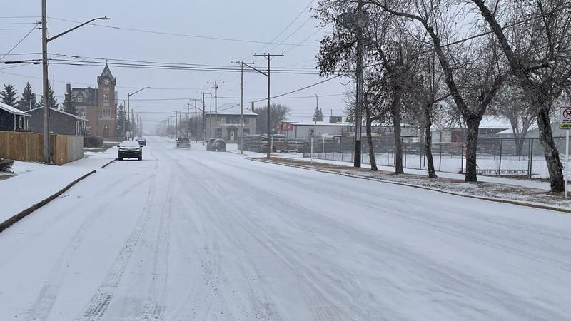
Battlefords and region to expect major spring storm Thursday. (Julia Lovett-Squires/battlefordsNOW Staff)
Spring storm

Battlefords in for spring storm

Mar 25, 2025 | 4:04 PM

It looks like March will indeed go out like a lion. The Battlefords are in for stormy weather.

“This is going to be primarily a Thursday event,” said Justin Shelley, meteorologist with Environment and Climate Change Canada.

“We have a low-pressure system developing over southern Alberta Wednesday night that will track east through the high plains and the area of notable precipitation will be north of that system and will track right through central Saskatchewan.”

According to Shelley, the Battlefords can expect heavy snow Thursday morning and last throughout the day into the evening.

“When all is said and done by Friday morning, we are expecting upwards of 10 to 20 centimeters throughout the region that will likely persist eastward across the province,” he said, adding some modeling is showing 25 centimetres and Prince Albert can also expect the wintery blast.

“It looks like the balk of that heavier precipitation will stay sort of near and north of the Yellowhead Highway.”

Shelley explained there’s a chance there could be lingering light flurries on Friday throughout the day and moving into the weekend, they expect drier weather and cooler temperatures.

He explained the heaviest band of snow is tracking through Lloydminster, towards North Battleford, then east to Manitoba.

While at the moment, the Battlefords are only expected to get snow, the models are showing that the system could bring with it mixed precipitation to Kindersley.

“It will come close to the Battlefords region, possibly seeing a brief risk of freezing rain there Thursday morning,” Shelley said.

“Certainly, you want to make note of that if you are travelling pretty much anywhere in the province on Thursday.”

julia.lovettsquires@pattisonmedia.com

On BlueSky: juleslovett.bsky.social

View Comments