(File photo/northeastNOW)
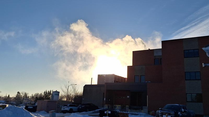
Cold snap

Arctic air leading to frigid conditions over the next couple of days

Dec 11, 2025 | 3:02 PM

It’s a good news, bad news forecast over the next couple of days for the province.

The snowy, blustery conditions we have been experiencing will finally give way to some sunshine. The downside is that the sun will bring with it some frigid temperatures.

Christy Climenhaga of Environment and Climate Change Canada (ECCC) said the colder weather will move in from the north for much of the prairie provinces.

“Temperatures this weekend will be quite chilly across the region,” Climenhaga said.

Daytime highs for Friday and Saturday will hover around the mid -20°C range, while overnight lows could reach -30°C or lower.

Climenhaga said an Arctic air mass is moving south and bringing cold weather across western Canada. The coldest weather could be tomorrow night for much of the province, dipping below -30°C.

“Cold and clear – with these sorts of systems, it comes hand-in-hand, but it will make for some especially cold mornings.”

According to Climenhaga, we should see some warmer weather on Sunday heading into early next week. However, Environment and Climate Change Canada’s models are unsure at this point just how warm it will get.

“Some of them said very warm conditions around the freezing mark; others [are] keeping it in that -10°C range,” Climenhaga said.

For now, ECCC’s forecast highs for Sunday, Monday, and Tuesday are hovering around -10°C.

Unfortunately, the warmer weather will likely be short-lived, according to Climenhaga.

“Our longer-range model is calling for colder conditions to really persist not only through the end of next week, but even beyond as we head into the holidays.”

Climenhaga recommended checking the Highway Hotline for up-to-date road information before you travel during the holiday season and advised us to have an emergency kit in our vehicle with blankets and warm clothes as the temperatures dip.

cam.lee@pattisonmedia.com

View Comments