Cold arctic air will hang around through this week, but we'll start to warm up next week. (Rob Mahon/paNOW Staff)
Cold Air Leaving

Light at the end of the frozen tunnel: warm air to move in next week

Jan 4, 2022 | 12:00 PM

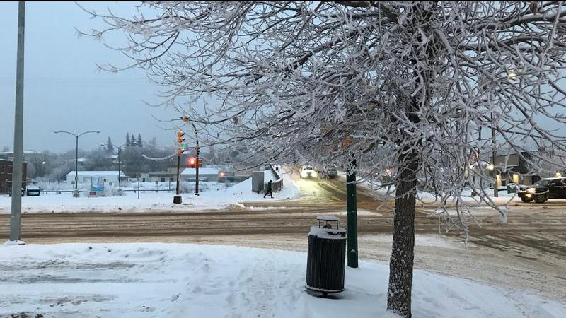
Saskatchewan residents got a brief respite from the cold weather on Sunday, but it is proving to be only a quick hit of warmer air. The good news is, a more sustainable warm-up is on the horizon.

Starting next week, the deep freeze that’s been settled in over much of the prairies and beyond will start to lift. After today’s snowfall has wrapped up (which it should do by the end of the day), the temperatures will fall in the immediate term before that eventual rise.

“We’ll take a slow dive into some cold temperatures again,” said Terri Lang, regional meteorologist with Environment Canada. “Things will bottom out Thursday and Friday morning. Really cold temperatures, probably back into those extreme cold warnings again as temperatures plummet and the wind-chills go up.”

Colder air has been lodged in the prairies since before Christmas, but that’s common with extreme cold fronts, according to Lang. While we’re not in what some might call the dead of winter (that comes at the end of January, according to Lang) we are certainly well into the season.

“We are in the depths of winter right now,” Lang said. “With the way the jetstream was, well south of the province, even B.C. was getting in on the game with the cold weather. We are at the lowest point of where the sun is, it’s slowly making its way back but of course that’s going to take a long time.”

The good news, however, is that for Saskatchewan and the rest of the prairies, a rise in temperature is not far away. Starting on Monday, we’ll lift out of the deep freeze, and the temperature will keep warming up from there.

“We are seeing a shift in the jetstream, which is that delineator between that really cold air to the north and the air to the south,” Lang said. “It’s finally going to become more westerly and that often brings us milder temperatures. It does look like that shift is coming, we just have to get through this really cold week first.”

By the middle of next week, some models show the Prince Albert area getting close to zero at the high, with a rise to seasonal averages expected at the very least. According to Environment Canada, seasonal averages for around this time of year are about -13 C at the high.

“It does look like it will climb to those (seasonal averages) and probably above those into mid-next week,” Lang said.

Lang added there is likely to be an extreme cold warning Thursday and Friday this week.

rob.mahon@pattisonmedia.com

On Twitter: @RobMahonPxP

View Comments